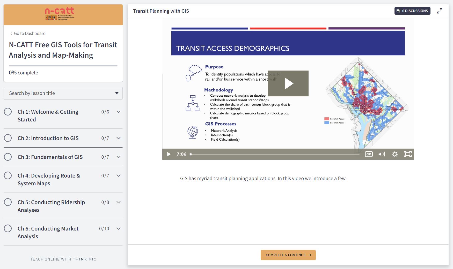
Foursquare ITP developed and facilitated a series of workshops and an on-demand online course to inform transit practitioners about freely available geographic information systems (GIS) tools and their application to transit planning analysis and map-making. GIS analysis is a useful tool for transit agency staff, but not all agencies have access to paid GIS programs. N-CATT provides free technology resources and education to small urban, rural, and tribal transit agencies; as part of fulfilling their mission they wanted to provide free resources teaching transit agency staff how to use a freely available GIS program.
Foursquare ITP prepared three separate interactive workshops (virtual, in-person, and on-demand) to teach transit agency staff about GIS analysis and map-making, complete with hands-on instruction using sample transit datasets, lectures, self-guided work, and suggested readings and resources. The hands-on elements of the workshops were taught primarily in QGIS, a freely available and open-source GIS software, allowing anyone to participate in the course.
The attendance rate for the virtual workshop was one of the best among previous N-CATT programs and there was such high demand that the program had to institute a waitlist. The virtual course had a high attendance rate and low attrition rate.

Solutions and Outcomes
- Produced three separate highly attended and interactive workshops for industry professionals: virtual, in-person, and on-demand.
- Taught workshops primarily in QGIS, a freely available and open-source GIS softward, allowing anyone to participate.