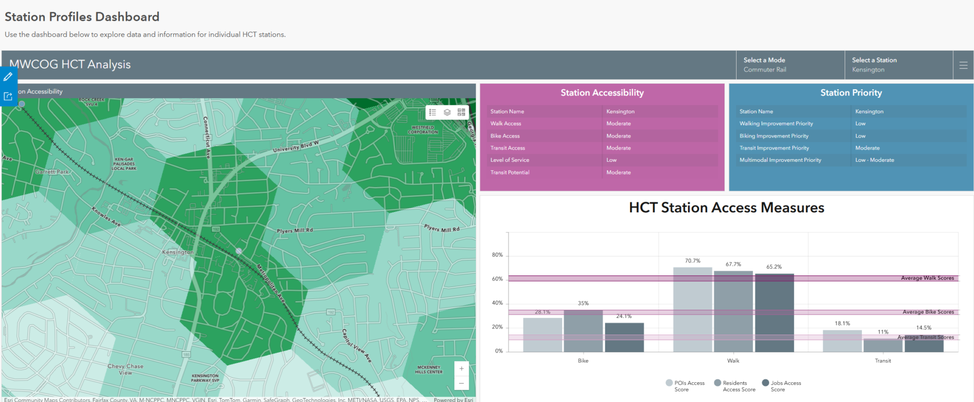
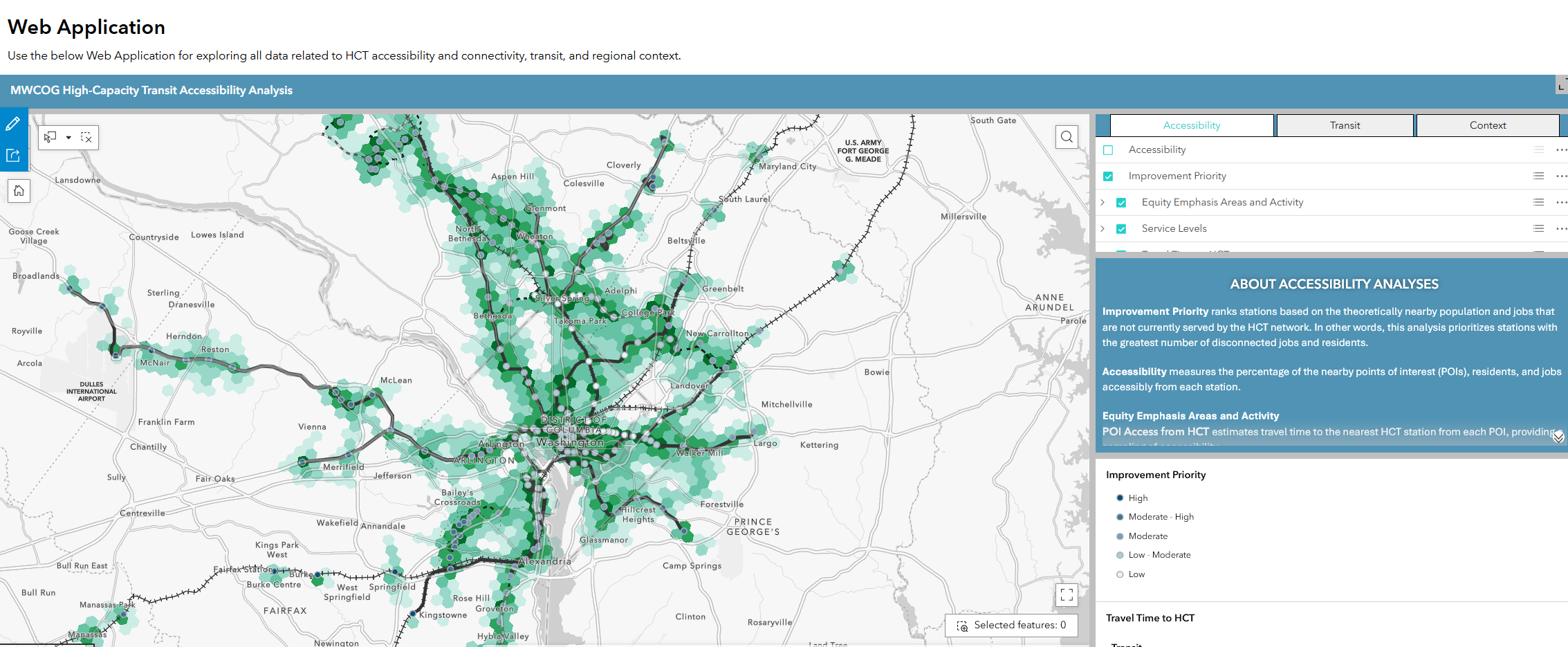
High-capacity transit (HCT) stations constitute infrastructure critical to the Washington, DC region’s connectivity. The Metropolitan Washington Council of Governments (COG) asked Foursquare ITP to analyze the connectivity between high-capacity transit and residents, jobs, and points of interest to help inform prioritization of station-level improvements. While HCT stations are generally well-connected to one another, local connections between HCT stations and the surrounding areas vary substantially from station to station, and it was not clear what improvements would most benefit accessibility in the region.
Using a multimodal transportation network, Foursquare ITP’s analysis examined local practical connectivity—as opposed to “as-the-crow-flies” connections—by estimating the time for walking, bicycling, and transit access to nearby points of interest, populations, and jobs. The work included a web application that allows users to view a variety of map layers for HCT accessibility and connectivity; detailed HCT station profiles that show accessibility by different modes and where the station ranks in terms of its priority for improvements; and a toolkit of context sensitive improvements and strategies designed to increase HCT accessibility by mode.
The analysis, which is available online here, affords planners and decision makers the information needed to facilitate both local planning efforts and regional improvement prioritization from a variety of perspectives, including ensuring access to high quality transit for equity populations.


Solutions and Outcomes
- Access and travel time from local points of interest, residents, and jobs to high-capacity transit stations.
- Needs-based prioritization scores for modal connectivity improvements.
- A web application and accessibility toolkit for planners and decision makers to use.